What GSD measures
Ground sample distance is the distance on the ground between the centres of two neighbouring pixels. In an image with a 1 m GSD, adjacent pixel centres are 1 m apart on the ground. The Wikipedia article on ground sample distance describes it as one limit on spatial resolution, the limit that comes from sampling the scene with pixels. The same pixel arithmetic applies to printed size, as the pixels, PPI and print size guide shows.
A smaller number is finer. A GSD of 2 cm per pixel samples the ground more densely than one of 5 cm per pixel. It does not promise that a 2 cm feature will be clear in the picture, or that a measurement will be accurate to 2 cm. Blur, lens quality, camera calibration, position accuracy and processing all add their own errors.
The formula, with units
Each input has one job:
- Sensor width is the physical width of the sensor in millimetres, measured along the same edge as the image width. Take it from the manufacturer’s specification, not the diagonal.
- Altitude is the height above the ground beneath the camera, in metres. It is not height above sea level.
- Focal length is the actual focal length of the lens in millimetres. A 35 mm-equivalent figure describes a different reference and gives a wrong GSD here.
- Image width is the number of pixels across the same edge as the sensor width.
This is the straight-down case of the general geometry in the Wikipedia article. When the camera points at the ground, the distance to the ground equals the altitude and the tilt angle is zero, so the general expression reduces to the formula above.
A worked example
Take the default camera in the Drone Mission Calculator: a 13.2 mm wide sensor, an 8.8 mm lens and an image 5,472 pixels wide. Flying at 100 m gives:
GSD = 13.2 mm × 100 m ÷ (8.8 mm × 5,472 px) = 0.0274 m per pixel, or 2.74 cm per pixel.
The same numbers give the width of ground in one photo. Each pixel covers 2.74 cm, so 5,472 pixels cover about 150 m. The shortcut is altitude × sensor width ÷ focal length: 100 × 13.2 ÷ 8.8 = 150 m. For a 3:2 image of 5,472 × 3,648 pixels, the height on the ground is about 100 m. For other frame shapes, the aspect ratio calculator works out the missing side.
| Altitude | GSD | Photo width on the ground |
|---|---|---|
| 50 m | 1.37 cm per pixel | 75 m |
| 100 m | 2.74 cm per pixel | 150 m |
| 200 m | 5.48 cm per pixel | 300 m |
Doubling the altitude doubles the GSD and doubles the width of each photo, so each photo covers four times the area. Fewer, coarser photos cover the same survey area.
Solve for the altitude you need
Rearrange the formula to find the altitude for a target GSD: altitude = target GSD × focal length × image width ÷ sensor width. For a target of 2 cm per pixel with the same camera, the altitude is 0.02 m × 8.8 mm × 5,472 px ÷ 13.2 mm, about 73 m.
The planner’s target-GSD solver applies this rearrangement. Flying lower gives finer detail, but each photo covers less ground. The same area then needs more photos, more flight lines and more batteries. Choose the GSD the project needs, not the smallest number the camera can reach.
What changes the GSD
- Lower altitude lowers the GSD in proportion.
- A longer focal length lowers the GSD in proportion, but the field of view narrows.
- More pixels across the same sensor width lowers the GSD in proportion, because each pixel is smaller on the ground.
- A wider sensor with the same pixel count raises the GSD, because each pixel is larger.
Mistakes that change the number
Three slips change the answer, and none of them looks wrong on screen:
- Mismatched edges. The sensor width must be paired with the image width, both measured along the same edge. Pairing it with the image height makes the answer 1.5 times too coarse on a 3:2 image, because 5,472 ÷ 3,648 = 1.5.
- Altitude above take-off. The ground under a route is often higher or lower than the take-off point. Where the ground rises, the real height above ground is lower, so the GSD there is finer than planned.
- Focal length from the wrong reference. Use the lens focal length in millimetres from its specification. A 35 mm-equivalent number, or a focal length rounded from a zoom range, moves the answer in proportion.
Where a fixed GSD matters
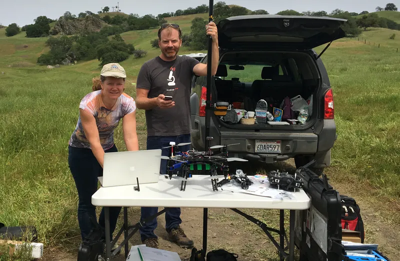
Survey teams fix the GSD before a flight because it sets how much ground each pixel covers. The photo below shows a 2016 field team preparing a small unmanned aerial vehicle and GPS instruments to document the topography of the San Andreas fault zone.
Keep the numbers honest
- GSD is not positional accuracy. It describes how finely the image samples the ground. Position accuracy depends on GPS quality, any ground control points and the processing software.
- Overlap is a separate setting. The planner treats 70% front overlap and 65% side overlap as its comfortable band. Those are the calculator’s thresholds, not an industry standard. Overlap sets photo spacing and count.
- Terrain changes the height. The altitude in the formula is height above the ground at the photo location. On sloping ground the GSD changes across the image.
- Flight rules are separate. GSD does not tell you whether a flight is allowed. Check the airspace and drone rules that apply where you fly.
Plan the flight
Enter the same four values in the planner: sensor width, focal length, image width and altitude. It then shows the GSD, the footprint of each photo, line spacing, trigger spacing, the number of passes, the photo count, the flight time and the battery count. Its target-GSD solver returns the altitude for the resolution you choose.
Photos can carry location data in their metadata. Before you share a survey set, check the files with the photo metadata remover. The EXIF guide explains which fields can hold a position.
Common questions
Is GSD the same as resolution?
Close, but not the same. GSD is the ground distance between neighbouring pixel centres. Spatial resolution is the smallest detail the image can show, and that also depends on optics, motion blur and processing. A 2 cm GSD does not guarantee that 2 cm features are clear.
Which altitude goes into the formula?
Use the height above the ground beneath the camera, not height above sea level. Where the ground rises or falls under the flight, the height above ground changes, so check the terrain where you fly.
Can I use the 35 mm-equivalent focal length?
No. Use the actual focal length of the lens in millimetres together with the actual sensor width. Mixing a 35 mm-equivalent focal length with a physical sensor width gives a wrong GSD.
Does a smaller GSD always give a better map?
It gives finer sampling of the ground. It also means more photos, more flight time and more storage. A coarser GSD may meet the project goal with fewer flights, so choose the GSD the project needs.
What if the camera tilts?
The simple formula assumes the camera points straight down. A tilted camera needs the general form in the Wikipedia article, which uses the slant distance to the ground and the cosine of the tilt angle.
Does overlap change the GSD?
No. Overlap changes how far apart the photos are, how many you take and how many passes you fly. GSD depends on altitude, focal length, sensor width and image width.
Sources and image credits
- Wikipedia: Ground sample distance (general geometry and definition)
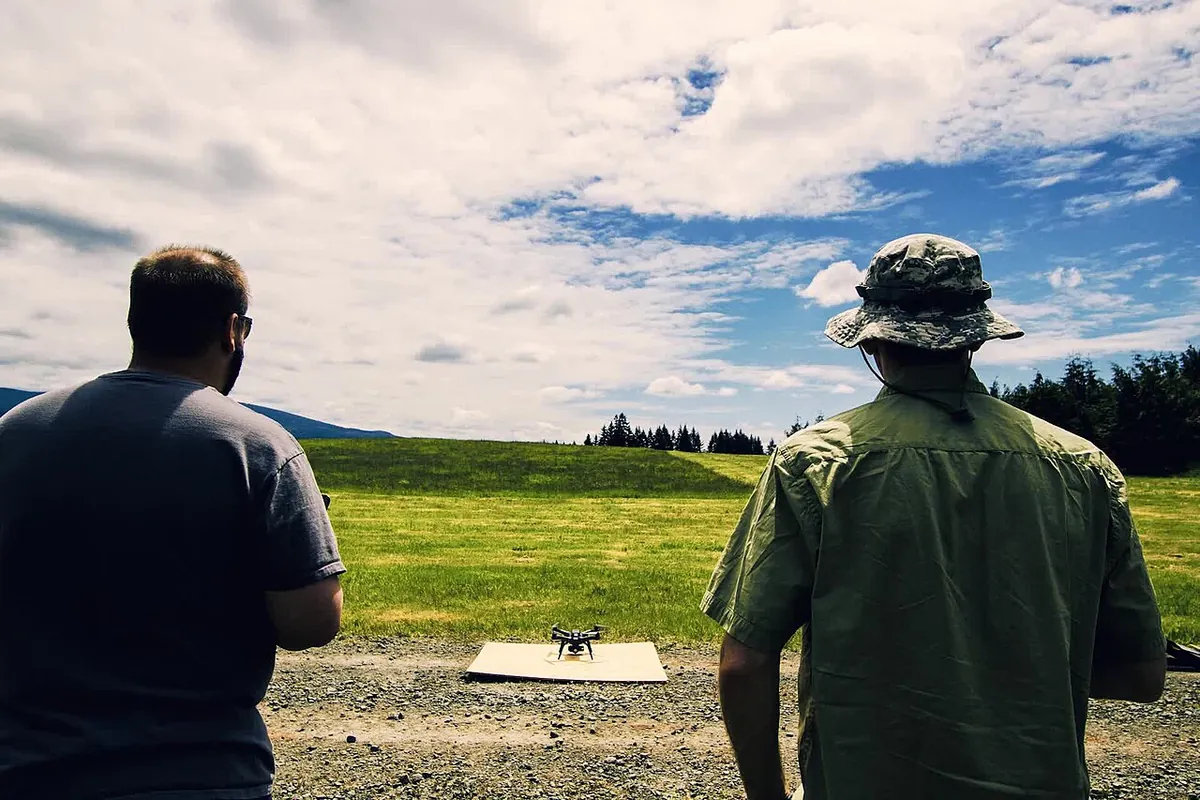
- Wikimedia Commons: BLM drone training (hero photo, public domain)
- Wikimedia Commons: 24Seven UAV San Andreas Fault, NASA/JPL-Caltech (public domain)